iBioGen focuses on a network of EU islands as a starting point for promoting methodological unification and conceptual synthesis in the field of island biodiversity genomics
The focal island systems span a range of island sizes, geological ages, degree of isolation, island types and climatic zones, allowing a variety of comparisons related to island biodiversity theory.
The long-term research activities by the partner institutions on the selected islands will provide the necessary background and expertise for the successful implementation of the EU island Genomic Observatories network.
The long-term research activities by the partner institutions on the selected islands will provide the necessary background and expertise for the successful implementation of the EU island Genomic Observatories network.
CYPRUS
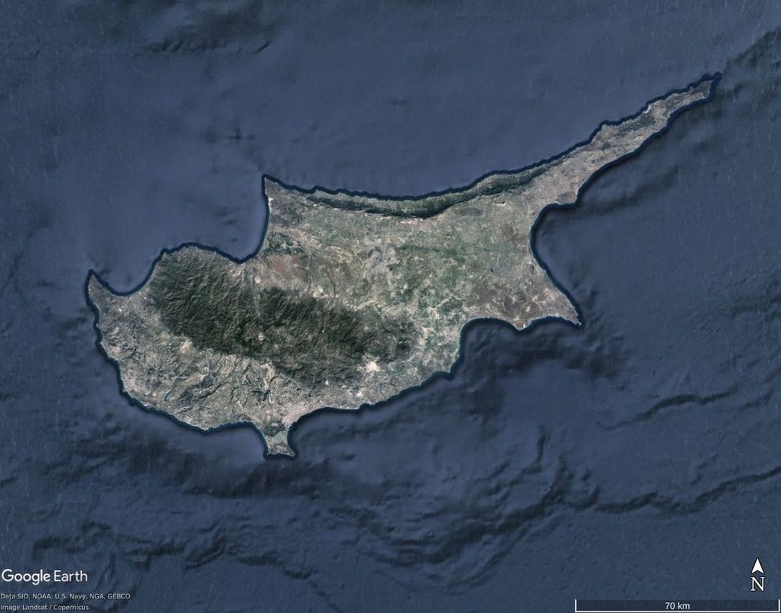
Cyprus is a large oceanic island (area: 9,251 sq. km, altitude: 1,952 m) at the easternmost end of the Mediterranean basin, which has most possibly never been connected to the mainland. Cyprus originated from the merging of two independent paleo-islands: the first one (Troodos mountain range) has volcanic origin and started emerging in the Middle Miocene (~20 Mya) and the second one (Pentadactylos mountain range) is an uplift of the Eurasian plate and started emerging in the Upper Miocene (~10 Mya). Cyprus only took the form of a single island in the Pleistocene (100-500 kya). The distinct origin of the two paleo-islands is reflected in different geological substrates on the two sides of the island and it is linked to interesting patterns of local endemism. Cyprus’ complex geological history and its unique geographic position at the crossroad of three continents, provides an intriguing system for island biodiversity research. It is also a critical place to apply high-throughput biodiversity monitoring given that Cyprus is among the most important gateways for alien and invasive species into the Mediterranean and Europe, and it is one of Europe’s most vulnerable islands to climate change and desertification.
AEGEAN ARCHIPELAGO
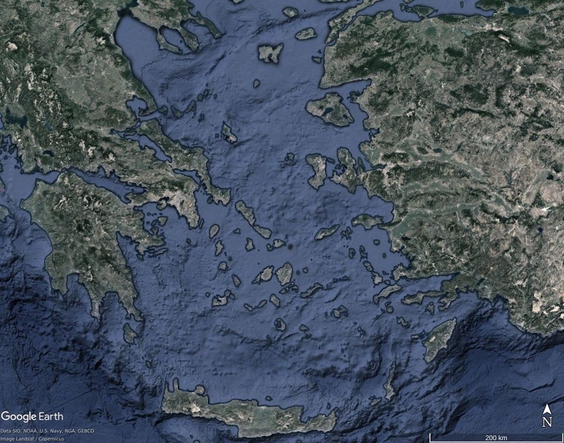
The Aegean is a continental archipelago in the Eastern Mediterranean, which consists of approx. 7,500 islands and islets of a wide range of sizes (Crete is the biggest island of 8,303 sq. km, most major islands range between 50-1,500 sq. km, and the majority of the islets are <10 sq. km). Most of the present-day Aegean islands are fragments of a previously continuous landmass, which started breaking apart in the Upper Miocene due to tectonic activity. However, there are also a few Aegean islands that have a volcanic origin (e.g. Santorini, Nisyros). Overall, the Aegean archipelago has been shaped by the combined effects of tectonism, volcanism, and eustatism, with many islands undergoing repeated cycles of connectivity and isolation throughout their history.
Differences in island size, proximity to two distinct mainland regions (Greek peninsula and Anatolian coast) and time of geological separation (a range of ages from ~10 Mya to ~8 kya) provide a very interesting setting for island biodiversity research. The Aegean archipelago has been used as a natural laboratory for ecological and evolutionary research for several decades and it has proved to be an ideal model system to gain insights into the processes driving diversification and biodiversity patterns in continental island systems.
Differences in island size, proximity to two distinct mainland regions (Greek peninsula and Anatolian coast) and time of geological separation (a range of ages from ~10 Mya to ~8 kya) provide a very interesting setting for island biodiversity research. The Aegean archipelago has been used as a natural laboratory for ecological and evolutionary research for several decades and it has proved to be an ideal model system to gain insights into the processes driving diversification and biodiversity patterns in continental island systems.
CANARY ISLANDS
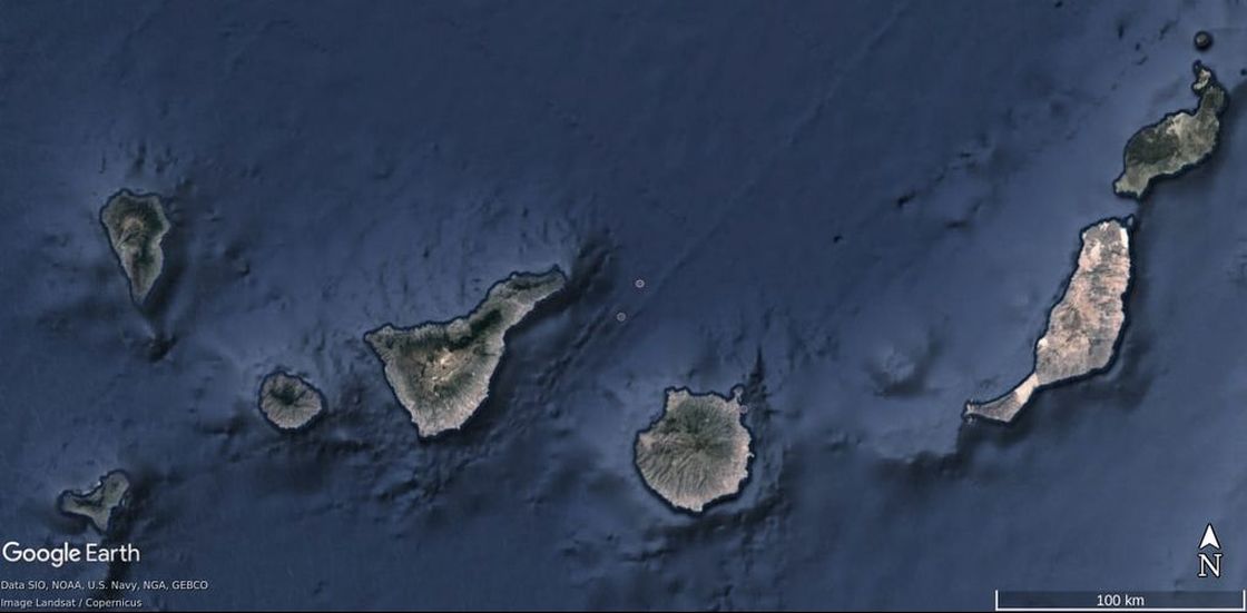
The Canary Islands is an oceanic archipelago in the Eastern Atlantic Ocean (off the northwest coast of Africa), consisting of 7 major volcanic islands (270-2034 sq. km) and 6 smaller islets (0.01-30 sq. km), which have never been connected to the mainland. They are part of a volcanic belt with a northeast-southwest direction. The age of the islands increases sharply from southwest to northeast (from 1 to 20 Mya) and their geomorphology shows systematic changes according to their respective evolutionary stage. Highest species richness and endemism are found on the island of Tenerife, which has an intermediate age (11.9 Mya) and is currently the biggest and highest island (altitude: 3,718 m), with a complex topography and a great variety of ecosystems. The youngest islands (El Hierro and La Palma) are undergoing a constructive phase, where growth through volcanic activity predominates, while the oldest and lowest elevation islands (Fuerteventura and Lanzarote) are well into their destructive phase, where erosion is the dominant process. The Canary Islands are considered an important biodiversity hotspot and they have served for several decades as a premium model system, which has allowed scientists to gain important insights into the processes of colonisation, in situ diversification and community assembly on oceanic islands.


